
Educational Aim Learning Areas and Target Skill Sets A Three-step Learning Situation In Conclusion Documents
Educational Aim
An activity for Geography classes, secondary cycle one
Educational Aim
The A Marked Territory learning and evaluation situation (LES) provides an opportunity for secondary cycle one students to explore the concepts of Indigenous territory and protected territory, through a historical account featured in the Images on Stone online exhibit.
Focusing on basic knowledge about Indigenous territory and using an example of Inuit culture drawn from the online exhibit, this activity helps students understand how the First Peoples’ relationship with their territories is conveyed through cultural expressions. The students are then prompted to reflect on the protection and promotion of rock art sites located in natural settings, by exploring the concept of protected territory through examples drawn from rock art sites found in natural parks.
The activity also introduces students to toponymy and landscape reading. This helps them make connections between two types of territories studied during the cycle and draws their attention to the many dimensions of a territory.
Learning Areas and Target Skill Sets
The A Marked Territory activity is part of the Environmental Awareness and Consumer Rights and Responsibilities broad area of learning and encourages the development of an awareness of the interdependency between the environment and human activity.
Subject Area: Geography
- Read territory organization (Indigenous territory)
- Interpret a territorial issue (protected territory)
- Techniques used in geography:
- Interpret a landscape
- Interpret an iconographic document
Cross-curricular Competency
- Using information
- Using creativity
A Three-step Learning Situation
- Preparation: Traces on the Territory
- Creation: A protected territory?
- Integration: Appreciating the Territory… Responsibly
These three steps can be carried out in whole or in part.
At the end of the activity, you and your students will have:
- Explored two types of human actions marking territorial appropriation: petroglyphs and toponymy;
- Compared the protection and deterioration factors of a heritage site;
- Established connections between various types of appropriation of a given territory: Indigenous territory, protected territory, heritage territory and tourism territory.
To take full advantage of your exploration of the online exhibit and proposed activities, please:
- Read all the information provided at each step of the activity;
- Explore the individual sections of the online exhibit;
- Review the annexes.
Step 1 – Preparation – One period of class activity (60 minutes)
Traces on the Territory
Objectives
- Establish rock art as a means for Indigenous peoples to appropriate the territory
- Identify another means to appropriate the territory: toponymy
- Become aware of the importance of Indigenous toponymy in Quebec
Series of Steps
- Using a map of Quebec, the teacher and students locate the Nunavik Inuit territory.
This vast territory was first occupied by the Dorset people, a civilization who migrated from Asia through the Bering Strait to settle the land some 3800 years ago. A new population, the Thule people, later replaced them about 750 years ago. The Thule people are the direct ancestors of today’s Inuit.
- The teacher shows the student a picture of Qajartalik rock art carvings.
If the students have already completed the “Rock art, did you say?” history LES, the teacher can ask them to give the meaning of the term rock art. Otherwise, the teacher can provide the following definition:
Rock art: paintings or carvings made on rock surfaces by civilizations prior to the invention of writing.
There are four rock art sites in Nunavik; all are found in the Ungava Peninsula.[1] They are the only sites known to exist across the entire Canadian Arctic.
- The teacher and students locate the Kangiqsujuaq village on the map, along the shores of the Ungava Bay.
Among these sites, the best known is called Qajartalik. It is located slightly south of the Kangiqsujuaq village.
- The students describe the petroglyphs and the Qajartalik site. The teacher proposes that the students browse the Discovery section of this site to do so or the teacher may provide this information.
Essential Characteristics
- Petroglyphs: Carvings in stone (in this case, steatite, or soapstone, mainly composed of talcum and widely used for sculpture)
- Representations: Human or human-like faces, sometimes with characteristics likely to be those of supernatural beings (e.g., horns)
- The site: Located close to the shore
- Dating: The carvings were created during the period when the Dorset civilization occupied the territory
- Why did the Dorset people create those carvings? The teacher proposes that student come up with a hypothesis:
- To let it be known that they were at the site
- To create a work of art
- To convey their people’s identity
- To convey experiences, dreams or visions experienced at the site
- To convey information (directions, hunting resources, etc.)
Generally speaking, such carvings are said to represent human actions affirming humans’ connection with a given site or territory. They are said to be ways to appropriate the site or territory or to state humans’ presence at the site or their occupation of the territory.
- Do the students know of other means to appropriate the territory or to leave a trace, whether nowadays or back then?
- Acts of ownership (contracts)
- Graffiti
- Maps
- Constructions (houses, sculptures)
- Toponymy (place names)
Giving a name to a location in a people’s language is a means to affirm their connection with a particular site. A cultural expression (highlighting a historical event or an imaginary concept), a geographical characteristic or a marker of natural resources is often selected as a name.
Here are a few examples (in Inuktitut):
- Qajartalik: “Where there is a kayak” (the rock moving forward into the water may look like a kayak)
- Kanjiksujuaq: “The wide bay”
- Aupaluk: “Where the ground is red” (the soil is ferruginous – contains iron)
- Puvirnituq: “Where it smells of putrefied meat” (caribou might have drowned in masses)
- Indigenous toponymy is found everywhere in Canada and Quebec. Although French or English names have often replaced Indigenous place names, several have been kept. For instance:
- Rock art sites:
- Kejimkujik: “Lake of good spirits” (or “fairy lake”), in Mi’gmaq (one potential meaning)
- Pepeshapissinikan: “Characters naturally painted can be seen in the rock”, in Innu
- Other locations that you may know:
- Quebec: “Where the river narrows”, in several Algonquian languages
- Ahuntsic: “Small and wriggly”, in Wendat
- Canada (kanata): “Village”, in Wendat
- Saguenay: “Water flowing”, in Innu
- Rock art sites:
The teacher uses the Indigenous Place Names (Annex 1) activity Sheet to encourage the students to gain a better understanding of the concept of territorial appropriation through toponymy.
- The Inuit and their ancestors gave a name to the territory and left traces of appropriation, including rock art carvings, long before their first contact with Europeans. During the remainder of the LES activity, students will reflect on the heritage value and protection of such traces of occupation.
Step 2 – Creation – One period in class (60 minutes) OR half a period in class and 30 minutes of individual work
A protected territory?
Objectives
- Compare the situation of a natural vs. heritage site, depending on whether it is protected or not
- Assess the measures implemented to protect a heritage site located in a natural setting
Series of Steps
- Qajartalik is located less than 100 kilometres from Parc national des Pingualuit[2], one of the greatest natural wealth sites of Nunavik.
For more information on this park, please go to: http://www.nunavikparks.ca/en/parks/pingualuit
- However, the rock art site is not part of the park. It is not monitored by park wardens or protected with structures. Therefore, the site is exposed to some hazards. See the Discovery section of the online exhibit for more details.
For instance, pieces of rock were removed prior to 2001, graffiti has marred the site, and hatchet or knife cuts have been made into the rock. Some tourists have also been reported to make rubbings[3] of carvings. This technique does not usually damage carvings, but the Qajartalik steatite is brittle and easy to break when rubbing is not done correctly.
The park is very far from common tourist routes. Is it enough to protect the site?
Since 1997, the Avataq Cultural Institute has striven to preserve Inuit culture and language. It has also been trying to have the Qajartalik site recognized as a site of national historical significance. With such a recognition, it could be proposed to have the site added to UNESCO’s world heritage list so that it is better protected and promoted.[4]
- Other rock art sites are located in natural parks or are protected heritage sites. Some are featured in this online exhibit:
- The Aisinaipi site called Writing-on-Stone is part of the namesake Alberta provincial park and is recognized as a national historic site of Canada. Visitors can take part in hikes with guides who explain the rock art carvings and paintings at the site.
- The Kakawin site is part of the Sproat Lake provincial park in British Columbia, a park where visitors can hike, swim or camp.
- The Kejimkujik site is a historic site and national park that is part of the Parks Canada network, where visitors can canoe or hike.
Is recognizing a rock art site as a historic site, a park or any other designation enough to protect it for future generations?
The students are now asked to reflect on this question using the A protected territory? (Annex 2) activity Sheet, individually or in teams. The teacher then leads a discussion with the entire class to allow the students to share their points of view.
- The teacher concludes the activity by pointing out that the different ways to occupy a territory can generate conflict when trying to find the best means to protect or promote it. Therefore, choices have to be made. But would it be possible for the various dimensions of a territory to coexist? The next step – Integration – will provide an opportunity to reflect on this question.
Step 3 – Integration – Two periods in class, as individual work or a combination of the two options (120 minutes)
Appreciating the territory… Responsibly
Objectives
- Highlight the essential knowledge to retain from the activity:
- Rock art sites serve to establish connections with the territory, much like toponymy or the construction of buildings.
- Rock art sites are significant heritage sites for the Indigenous peoples of Canada and must be protected.
- Rock art sites are located in natural settings, where they are exposed to deterioration factors not necessarily present at other types of heritage sites.
- Allow the students to devise a communication solution using geographical knowledge.
- Instil awareness of the consequent importance of protecting and preserving rock art sites (because of their vulnerability and their value as a heritage to mankind).
Series of Steps
- The teacher emphasizes that a territory can have different dimensions:
An Indigenous territory can both have heritage value and be located in the heart of a natural setting to be protected, as is the case for Qajartalik.
- The students have reflected on:
- The significance of rock art sites as a means for the Indigenous peoples to appropriate their territory
- The protection and deterioration factors of heritage sites located in natural settings
- Based on this knowledge, the students are now asked to create
- an information leaflet OR
- a series of interpretation panels
to encourage responsible tourism at the Qajartalik site. This awareness-raising material should be directed at tourists who visit Nunavik by travelling to the territory by air or sea.
The teacher encourages the students to first observe cultural product leaflets on historical or natural sites available near their school or online.
Here are a few examples:
- Tourbière-du-Bordelais natural park: https://www.ville.saint-lazare.qc.ca/documents/enviro/bogvisitorguide.pdf
- Québec City frescoes: http://www.capitale.gouv.qc.ca/system/documents/media/000/000/115/original/11_160_circuits-fresques-murales.pdf?1442924697
- Mont Wright park: http://www.af2r.org/wp-content/uploads/2010/11/Guide-visiteur_MW2016.pdf
Interpretation panels are sometimes set up near historic or natural sites; here are a few examples:
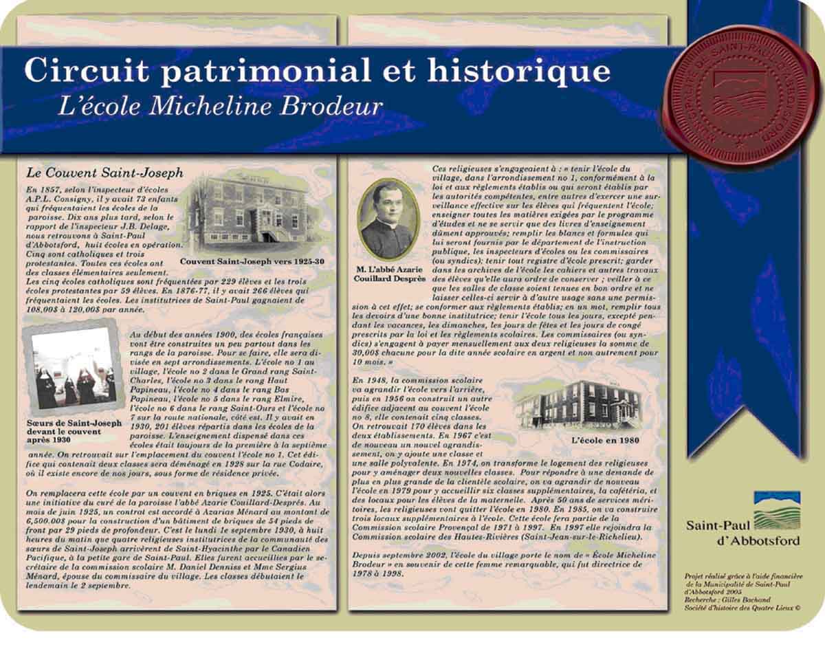
- St-Paul-d’Abbotsford heritage tour: http://www.quatrelieux.qc.ca/PatriPaul/Circuit%20patrimonial/Panneau_ecole.jpg
- Lac-Taureau regional park: http://www.parcsregionaux.org/wp-content/uploads/2015/08/entreeSud-2.jpg
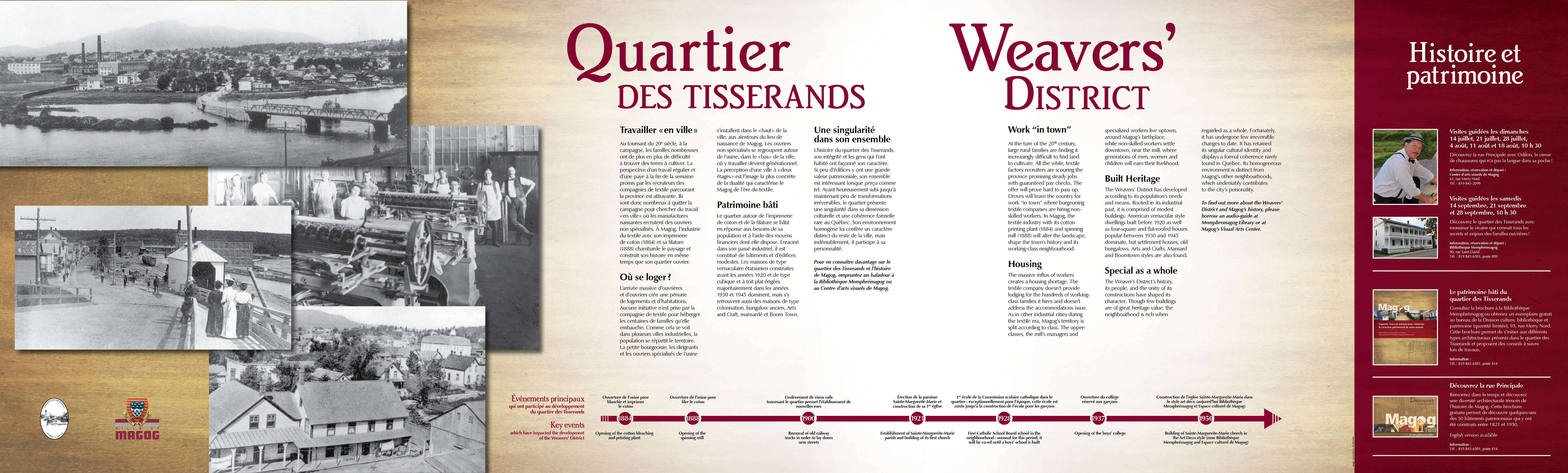
- Weaver’s District in Magog: https://www.ville.magog.qc.ca/wp-content/uploads/1970/01/banniere_Tisserands_WEB.jpg
The leaflet or panel produced by the students should include the following:
- Site promotion and heritage elements
- Why is this site important for Inuit and the world population
- Interpretation of petroglyphs (draw ideas from the Discovery section of the online exhibit)
- Dating
- Site protection elements
- Actions to do and not do at the site, and why (impact)
- Actions that tourists may take to help protect the site
The presence and quality of information regarding the elements above is the evaluation criterion of the final product. But the teacher may add criteria of graphic presentation or inclusion of peripheral elements, such as analyzed photographs or added information about Qajartalik.
[1] Upinnivik and Nuvukulluk are two of the other sites, and the fourth is not identified.
[2] http://www.nunavikparks.ca/en/parks/pingualuit
[3] Rubbing is a technique used by archaeologists to study stone carvings. A sheet of paper is placed on the carving and a pencil is rubbed against it to reveal the carving image on the paper.
In Conclusion
The A Marked Territory learning and evaluation situation provides an opportunity to combine knowledge learned in social study domains (history and geography), arts and English first language into an overall understanding of a social phenomenon. The teacher may use the geography LES to introduce the knowledge taught and give students the opportunity to better understand that the territory, in its entirety, features many dimensions that interact and influence its development and conservation.